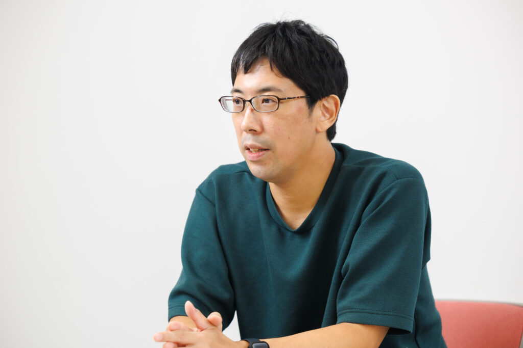
Associate Professor Masamitsu Kurata of the Faculty of Economics studies development economics aimed at resolving social challenges in developing countries. He is taking the new approach of using satellite data for identifying the state of poverty in developing countries and verifying the effects of international aid efforts.
My field of study is that of development economics—but that does not necessarily mean I only focus on the monetary aspects of poverty issues. An example that illustrates this may be someone who has money, but is unable to receive appropriate medical care or educational services due to the lack of any hospitals or schools nearby. Another may be a community overflowing with agricultural produce, but unable to sell them due to the lack of any decent roads. Identifying key issues or deficiencies from the actual facts is essential for international aid.
Detailed studies of health hazards using satellite air pollution data

One area that I’m focusing my research efforts on now is using space technology to identify issues in developing countries. Surveys conducted in these countries are usually quite labor-intensive, and involve going from house to house asking questions and recording answers on a survey form—all of which takes an immense amount of time and effort. Using satellite data, however, provides a low-cost and extremely accurate way of examining conditions in developing countries. One example of this approach is analyzing health risks caused by air pollution.
According to the World Health Organization (WHO), there are an average of seven million deaths annually around the world that are attributable to air pollution. Bangladesh is one country where this has become a serious issue, and I used two types of data to analyze the circumstances there. The first was air pollution data obtained from satellites, which provides a long-term insight into the state of pollution with a square kilometer level of precision. The second set of data was from household surveys of infant health problems taken from across all of Bangladesh. The approximate location of each household can be identified, and when these two data sets are used together, it enables us to visualize the degree to which people are being affected by air pollution, and what type of impact it has on their health condition.
The data obtained from satellites also reveals a range of other social problems—nighttime light data provides an insight into the level of economic disparity between different regions. Other satellite data can reveal poor agricultural harvests, natural disasters such as flooding, and even the state of deforestation.
Coming up with new ways for international cooperation by scientific ex-post evaluations
Satellites also play a useful role in verifying the effects of international aid activities. Take the almost 300 billion yen invested by Japan into forest conservation in India as an example of this. An examination of satellite data covering the distribution of forests reveals that forest areas Japan is funding have a higher level of conservation. Satellites also show an increase in the volume of agricultural products harvested within a 500-meter range of irrigation projects that have been funded in arid regions of India.
On the other hand, there are of course projects that did not end up achieving the level of results that had been expected. Rather than viewing these as failures, they can instead be taken as lessons to learn—a key step for rethinking how international aid projects can be truly beneficial to the local populace. I personally have extensive experience of international aid activities in developing countries, and even today I am concentrating my efforts on both academic research and practical applications. One thing I have realized while working on the projects is that, no matter how accurate the satellite data may be, some details will always remain unknown until on-site surveys are conducted. I hope to come up with effective policies that can be implemented in developing countries, based on high-precision analyses using data acquired from both space and right here on the ground.
The book I recommend
“Dr. Stone”
by Riichiro Inagaki, illustrated by Boichi, Shueisha, Inc.

Some high-school students find themselves revived, and then use their skills to restore science and technology. My elementary-school aged son and I were both completely engrossed in this series, and the story also includes the core aspects of development economics.
-
Masamitsu Kurata
- Associate Professor
Department of Economics
Faculty of Economics
- Associate Professor
-
Graduated from the Faculty of Agriculture, the University of Tokyo with a Bachelor in Agronomy, and received his M.A. and Ph.D. in Agronomy at the university’s Graduate School of Agricultural and Life Sciences. Worked at developmental consulting firms and Japan International Cooperation Agency (JICA) before being appointed assistant professor at the Faculty of Economics, Sophia University, and his current position from 2019.
- Department of Economics
Interviewed: September 2022